The Antonine Wall Use the tabs on the right of this page to see other parts of this entry The Antonine Wall at Tamfourhill ©2022 Gazetteer for Scotland The Antonine Wall at Bonnybridge ©2022 Gazetteer for Scotland The Antonine Wall at Bonnybridge ©2022 Gazetteer for Scotland The Antonine Wall at Bonnybridge ©2022 Gazetteer for Scotland Rough Castle Fort on the Antonine Wall ©2022 Gazetteer for Scotland Rough Castle Fort on the Antonine Wall ©2022 Gazetteer for Scotland Watling Lodge on the Antonine Wall at Tamfourhill ©2022 Gazetteer for Scotland Remains of an Antonine Wall Fortlet, Kinneil ©2022 Gazetteer for Scotland Millennium Extension to the Union Canal passes under road, railway and the Antonine Wall ©2022 Gazetteer for Scotland
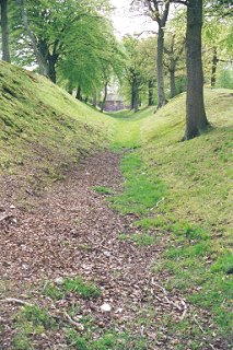
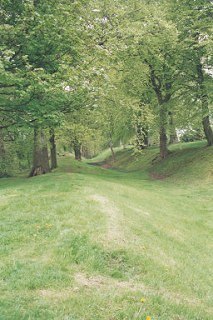
The Antonine Wall at Tamfourhill ©2022 Gazetteer for Scotland
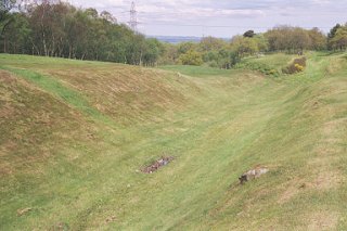
The Antonine Wall at Bonnybridge ©2022 Gazetteer for Scotland
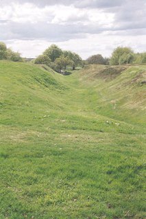
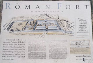
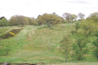
Rough Castle Fort on the Antonine Wall ©2022 Gazetteer for Scotland
Watling Lodge on the Antonine Wall at Tamfourhill ©2022 Gazetteer for Scotland
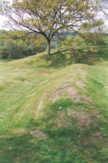
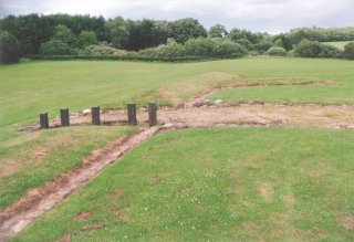
Remains of an Antonine Wall Fortlet, Kinneil ©2022 Gazetteer for Scotland
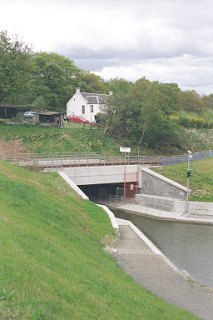
Millennium Extension to the Union Canal passes under road, railway and the Antonine Wall ©2022 Gazetteer for Scotland
By using our site you agree to accept cookies, which help us serve you better