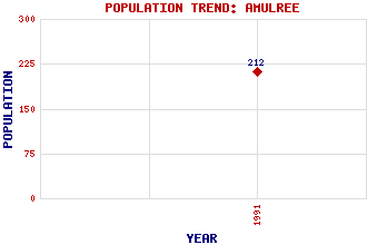
Amulree Classification and Statistics Settlement Type: hamlet Population (1991): 212 Tourist Rating: No Text of Entry Updated: 17-SEP-2006 Location Latitude: 56.5076°N Longitude: 3.7905°W National Grid Reference: NN 899 365 A range of modern and historical maps are accessible through the map tab on the right of this page Get directions by entering the UK postcode of your location, home or hotel here eg. EH1 3YT Use the tabs on the right of this page to see other parts of this entry Related Entries There are 22 related entries. (3 Attractions, 1 Council Area, 1 Historical County, 11 Features, 1 Parish, 0 People and 5 Settlements) Names that are not linked do not currently contain any information. Attractions: Amulree Church Ossian's Grave Rob Roy Way Council Area: Perth and Kinross Features: Beinn na Gainimh Braan, River Braan, Strath Cochill, Glen Fender, Loch Freuchie, Loch Geal Charn Griffin Wind Farm Quaich, Glen Quaich, River Shee, Glen Historical Counties: Perthshire Parishes: Dull Settlements: Achnafauld Deanshaugh Dunkeld Trochry Turrerich
There are 22 related entries. (3 Attractions, 1 Council Area, 1 Historical County, 11 Features, 1 Parish, 0 People and 5 Settlements)
Names that are not linked do not currently contain any information.
By using our site you agree to accept cookies, which help us serve you better