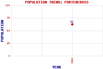
Portencross Classification and Statistics Settlement Type: settlement Population (1961): 63 Tourist Rating: No Text of Entry Updated: 19-APR-2011 Location Latitude: 55.7001°N Longitude: 4.9025°W National Grid Reference: NS 176 490 A range of modern and historical maps are accessible through the map tab on the right of this page Get directions by entering the UK postcode of your location, home or hotel here eg. EH1 3YT Use the tabs on the right of this page to see other parts of this entry Related Entries There are 13 related entries. (1 Attraction, 1 Council Area, 1 Historical County, 5 Features, 1 Parish, 0 People and 4 Settlements) Names that are not linked do not currently contain any information. Attractions: Ayrshire Coastal Path Council Area: North Ayrshire Features: Ardneil Bay Auld Hill Clyde, Firth of Farland Head Portencross Castle Historical Counties: Ayrshire Parishes: West Kilbride Settlements: Ardrossan Seamill Thirdpart West Kilbride
There are 13 related entries. (1 Attraction, 1 Council Area, 1 Historical County, 5 Features, 1 Parish, 0 People and 4 Settlements)
Names that are not linked do not currently contain any information.
By using our site you agree to accept cookies, which help us serve you better