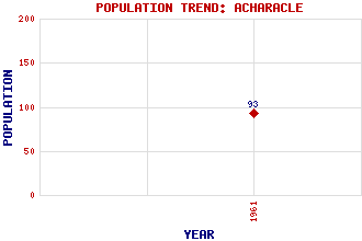
Acharacle (Ath-Tharracail) Classification and Statistics Settlement Type: village Population (1961): 93 Tourist Rating: No Text of Entry Updated: 30-APR-2020 Location Latitude: 56.7481°N Longitude: 5.8042°W National Grid Reference: NM 675 683 A range of modern and historical maps are accessible through the map tab on the right of this page Get directions by entering the UK postcode of your location, home or hotel here eg. EH1 3YT Use the tabs on the right of this page to see other parts of this entry Related Entries There are 22 related entries. (1 Attraction, 1 Council Area, 1 Historical County, 7 Features, 1 Parish, 0 People and 11 Settlements) Names that are not linked do not currently contain any information. Attractions: Mallaig Heritage Centre Council Area: Highland Features: Beinn Resipol Castle Tioram Loch Shiel Estate Lochaber Shiel, Loch Shona, Eilean St Finan's Isle Historical Counties: Argyllshire Parishes: Ardnamurchan Settlements: Ardtoe Cliff Dalnabreck Dorlin Kilmory Kinlochmoidart Mallaig Mingarry Salen Shielfoot Upper Mingarry
There are 22 related entries. (1 Attraction, 1 Council Area, 1 Historical County, 7 Features, 1 Parish, 0 People and 11 Settlements)
Names that are not linked do not currently contain any information.
By using our site you agree to accept cookies, which help us serve you better