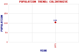
Colintraive Classification and Statistics Settlement Type: village Population (1971): 104 Tourist Rating: N/A Text of Entry Updated: 08-SEP-2012 Location Latitude: 55.9224°N Longitude: 5.1464°W National Grid Reference: NS 035 744 A range of modern and historical maps are accessible through the map tab on the right of this page Get directions by entering the UK postcode of your location, home or hotel here eg. EH1 3YT Use the tabs on the right of this page to see other parts of this entry Related Entries There are 21 related entries. (3 Attractions, 1 Council Area, 1 Historical County, 12 Features, 1 Parish, 0 People and 3 Settlements) Names that are not linked do not currently contain any information. Attractions: Caol Ruadh Colintraive Community Garden Colintraive Heritage Centre Council Area: Argyll and Bute Features: Altgaltraig Point Beinn Bhreac Buidhe, Eilean Bute Bute, Kyles of Dearg, Eilean Dubh, Eilean Fraoich, Eilean Inverneil Burn Milton Burn Mor, Eilean Riddon, Loch Historical Counties: Argyllshire Parishes: Inverchaolain Settlements: Altgaltraig Kyles View Rhubodach
There are 21 related entries. (3 Attractions, 1 Council Area, 1 Historical County, 12 Features, 1 Parish, 0 People and 3 Settlements)
Names that are not linked do not currently contain any information.
By using our site you agree to accept cookies, which help us serve you better