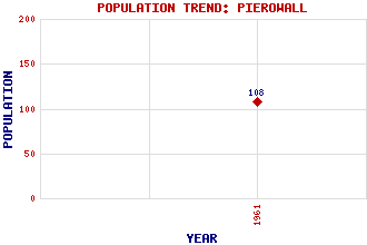
Pierowall Classification and Statistics Settlement Type: village Population (1961): 108 Tourist Rating: No Text of Entry Updated: 05-APR-2010 Location Latitude: 59.32°N Longitude: 2.9908°W National Grid Reference: HY 437 486 A range of modern and historical maps are accessible through the map tab on the right of this page Get directions by entering the UK postcode of your location, home or hotel here eg. EH1 3YT Use the tabs on the right of this page to see other parts of this entry Related Entries There are 20 related entries. (1 Attraction, 1 Council Area, 1 Historical County, 14 Features, 1 Parish, 0 People and 2 Settlements) Names that are not linked do not currently contain any information. Attractions: Noltland Castle Council Area: Orkney Features: Bis Geos Brough, Bay of Brough, Ness of Burness, Loch of Cott, Point of Couters Hill Knucker Hill Lady Kirk North Hill Noup, Bay of Pierowall, Bay of Saintear, Loch Westray Westray Junior High School Historical Counties: Orkney Parishes: Westray Settlements: Braehead Midbea
There are 20 related entries. (1 Attraction, 1 Council Area, 1 Historical County, 14 Features, 1 Parish, 0 People and 2 Settlements)
Names that are not linked do not currently contain any information.
By using our site you agree to accept cookies, which help us serve you better