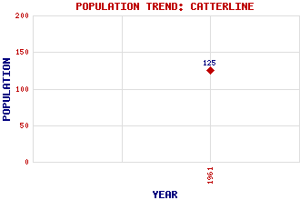
Catterline Classification and Statistics Settlement Type: village Population (1961): 125 Tourist Rating: No Text of Entry Updated: 08-MAR-2016 Location Latitude: 56.8955°N Longitude: 2.2168°W National Grid Reference: NO 868 782 A range of modern and historical maps are accessible through the map tab on the right of this page Get directions by entering the UK postcode of your location, home or hotel here eg. EH1 3YT Use the tabs on the right of this page to see other parts of this entry Related Entries There are 11 related entries. (0 Attractions, 1 Council Area, 1 Historical County, 2 Features, 1 Parish, 2 People and 4 Settlements) Names that are not linked do not currently contain any information. Council Area: Aberdeenshire Features: Catterline Bay Tod Head Lighthouse Historical Counties: Kincardineshire Parishes: Kinneff and Catterline People: Joan Eardley Lilian (Lil) Neilson Settlements: Crawton Inverbervie Roadside of Catterline Stonehaven
There are 11 related entries. (0 Attractions, 1 Council Area, 1 Historical County, 2 Features, 1 Parish, 2 People and 4 Settlements)
Names that are not linked do not currently contain any information.
By using our site you agree to accept cookies, which help us serve you better