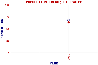
Hillswick Classification and Statistics Settlement Type: village Population (1961): 64 Tourist Rating: No Text of Entry Updated: 05-MAY-2013 Location Latitude: 60.4766°N Longitude: 1.4888°W National Grid Reference: HU 282 771 A range of modern and historical maps are accessible through the map tab on the right of this page Get directions by entering the UK postcode of your location, home or hotel here eg. EH1 3YT Use the tabs on the right of this page to see other parts of this entry Related Entries There are 20 related entries. (0 Attractions, 1 Council Area, 1 Historical County, 12 Features, 1 Parish, 2 People and 3 Settlements) Names that are not linked do not currently contain any information. Council Area: Shetland Features: Burriesness, Hill of Esha Ness Gunnister, Isle of Hamar Voe Niddister, Isle of Northmavine Orbister, Hill of Sand Wick Sheddocksley St Magnus Bay Ura Firth Westerhouse, Isle of Historical Counties: Shetland Parishes: Northmaven People: John Morgan Aitken Thomas (Tom) Morton Settlements: Braewick Lerwick Zoar
There are 20 related entries. (0 Attractions, 1 Council Area, 1 Historical County, 12 Features, 1 Parish, 2 People and 3 Settlements)
Names that are not linked do not currently contain any information.
By using our site you agree to accept cookies, which help us serve you better