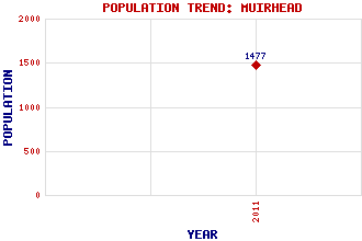
Muirhead Classification and Statistics Settlement Type: village Population (2011): 1477 Tourist Rating: N/A Text of Entry Updated: 15-MAR-2016 Location Latitude: 55.898°N Longitude: 4.1045°W National Grid Reference: NS 685 692 A range of modern and historical maps are accessible through the map tab on the right of this page Get directions by entering the UK postcode of your location, home or hotel here eg. EH1 3YT Use the tabs on the right of this page to see other parts of this entry Related Entries There are 13 related entries. (0 Attractions, 1 Council Area, 1 Historical County, 4 Features, 1 Parish, 1 Person and 5 Settlements) Names that are not linked do not currently contain any information. Council Area: North Lanarkshire Features: Bedlay Castle Johnston Loch Mount Ellen Golf Club Our Lady's High School Historical Counties: Lanarkshire Parishes: Cadder People: Sally Carr Settlements: Chryston Coatbridge Garnkirk Gartcosh Seafar
There are 13 related entries. (0 Attractions, 1 Council Area, 1 Historical County, 4 Features, 1 Parish, 1 Person and 5 Settlements)
Names that are not linked do not currently contain any information.
By using our site you agree to accept cookies, which help us serve you better