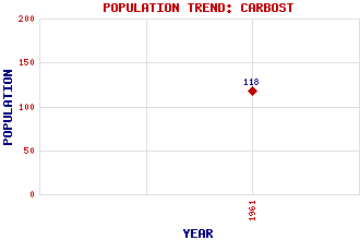
Carbost Classification and Statistics Settlement Type: hamlet Population (1961): 118 Tourist Rating: N/A Text of Entry Updated: 09-MAR-2014 Location Latitude: 57.3004°N Longitude: 6.3529°W National Grid Reference: NG 379 317 A range of modern and historical maps are accessible through the map tab on the right of this page Get directions by entering the UK postcode of your location, home or hotel here eg. EH1 3YT Use the tabs on the right of this page to see other parts of this entry Related Entries There are 18 related entries. (2 Attractions, 1 Council Area, 1 Historical County, 7 Features, 1 Parish, 1 Person and 5 Settlements) Names that are not linked do not currently contain any information. Attractions: Skye Talisker Distillery Council Area: Highland Features: An Dubh Sgeir Arnaval Cnoc nan Speireag Harport, Loch Preshal More Skye and Lochalsh Stockval Historical Counties: Inverness-shire Parishes: Bracadale People: Sir David Russell Johnston(Lord Russell-Johnston of Minginish) Settlements: Merkadale Portnalong Portree Skeabost Uigshader
There are 18 related entries. (2 Attractions, 1 Council Area, 1 Historical County, 7 Features, 1 Parish, 1 Person and 5 Settlements)
Names that are not linked do not currently contain any information.
By using our site you agree to accept cookies, which help us serve you better