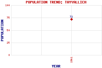
Tayvallich Classification and Statistics Settlement Type: village Population (1961): 72 Tourist Rating: N/A Text of Entry Updated: 16-FEB-2004 Location Latitude: 56.0242°N Longitude: 5.6267°W National Grid Reference: NR 741 872 A range of modern and historical maps are accessible through the map tab on the right of this page Get directions by entering the UK postcode of your location, home or hotel here eg. EH1 3YT Use the tabs on the right of this page to see other parts of this entry Related Entries There are 17 related entries. (0 Attractions, 1 Council Area, 1 Historical County, 11 Features, 1 Parish, 1 Person and 2 Settlements) Names that are not linked do not currently contain any information. Council Area: Argyll and Bute Features: Ardlussa Bay Cala Coinean, Eilean nan Fraoich, Eilean Keills Chapel Knapdale Loain, Eilean Sween, Loch Taynish Island Traighe, Eilean Ulva Islands Historical Counties: Argyllshire Parishes: North Knapdale People: John Lowrie Morrison(Jolomo) Settlements: Keillmore Scotnish
There are 17 related entries. (0 Attractions, 1 Council Area, 1 Historical County, 11 Features, 1 Parish, 1 Person and 2 Settlements)
Names that are not linked do not currently contain any information.
By using our site you agree to accept cookies, which help us serve you better