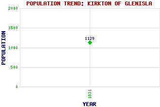
Kirkton of Glenisla Classification and Statistics Settlement Type: hamlet Population (1831): 1129 Tourist Rating: N/A Text of Entry Updated: 09-FEB-2001 Location Latitude: 56.7331°N Longitude: 3.2846°W National Grid Reference: NO 215 609 A range of modern and historical maps are accessible through the map tab on the right of this page Get directions by entering the UK postcode of your location, home or hotel here eg. EH1 3YT Use the tabs on the right of this page to see other parts of this entry Related Entries There are 29 related entries. (1 Attraction, 1 Council Area, 1 Historical County, 21 Features, 1 Parish, 0 People and 4 Settlements) Names that are not linked do not currently contain any information. Attractions: Cateran Trail, The Council Area: Angus Features: Alrick Bada Crionard Bawhelps Bodnasparet Broom Hill Bruntshiels Cairn Daunie Cairn Hill Clautschip Craig Lair Craigie Thieves Crock Druim Dearg Finlet, Glen Hare Cairn High Tree, The Isla, Glen Isla, River Mid Hill Taitney, Glen Tarmach Cairn Historical Counties: Angus Parishes: Glenisla Settlements: Alyth Brewlands Brewlands Bridge Inverharity
There are 29 related entries. (1 Attraction, 1 Council Area, 1 Historical County, 21 Features, 1 Parish, 0 People and 4 Settlements)
Names that are not linked do not currently contain any information.
By using our site you agree to accept cookies, which help us serve you better