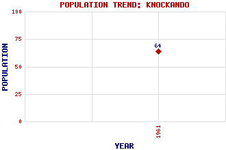
Knockando Classification and Statistics Settlement Type: hamlet Population (1961): 64 Tourist Rating: No Text of Entry Updated: 04-JUL-2008 Location Latitude: 57.4583°N Longitude: 3.35°W National Grid Reference: NJ 191 417 A range of modern and historical maps are accessible through the map tab on the right of this page Get directions by entering the UK postcode of your location, home or hotel here eg. EH1 3YT Use the tabs on the right of this page to see other parts of this entry Related Entries There are 13 related entries. (2 Attractions, 1 Council Area, 1 Historical County, 3 Features, 1 Parish, 1 Person and 4 Settlements) Names that are not linked do not currently contain any information. Attractions: Knockando Wool Mill Speyside Way Council Area: Moray Features: Arder, Allt Elchies Forest Spey, River Historical Counties: Moray Parishes: Knockando People: John Mackenzie Settlements: Archiestown Cardow Easter Elchies Upper Knockando
There are 13 related entries. (2 Attractions, 1 Council Area, 1 Historical County, 3 Features, 1 Parish, 1 Person and 4 Settlements)
Names that are not linked do not currently contain any information.
By using our site you agree to accept cookies, which help us serve you better