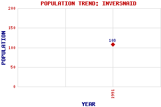
Inversnaid Classification and Statistics Settlement Type: hamlet Population (1991): 108 Tourist Rating: Text of Entry Updated: 22-FEB-2016 Location Latitude: 56.2435°N Longitude: 4.6819°W National Grid Reference: NN 339 089 A range of modern and historical maps are accessible through the map tab on the right of this page Get directions by entering the UK postcode of your location, home or hotel here eg. EH1 3YT Use the tabs on the right of this page to see other parts of this entry Related Entries There are 28 related entries. (5 Attractions, 1 Council Area, 1 Historical County, 8 Features, 1 Parish, 4 People and 8 Settlements) Names that are not linked do not currently contain any information. Attractions: Arrochar Alps Great Trossachs Path Katrine, Loch Three Lochs Way West Highland Way, The Council Area: Stirling Features: Arklet, Loch Beinn a' Choin Cruachan Inveruglas Bay Lomond, Loch Rob Roy's Cave Snaid Burn Vow, Eilean Historical Counties: Stirlingshire Parishes: Buchanan People: Robert (Rob Roy) MacGregor Sir Walter Scott Queen Victoria William Wordsworth Settlements: Aberfoyle Ardlui Corriearklet Crianlarich Garrison of Inversnaid Inveruglas Stronachlachar Tarbet
There are 28 related entries. (5 Attractions, 1 Council Area, 1 Historical County, 8 Features, 1 Parish, 4 People and 8 Settlements)
Names that are not linked do not currently contain any information.
By using our site you agree to accept cookies, which help us serve you better