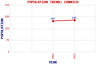
Cannich Classification and Statistics Settlement Type: village Population (1971): 203 (1961): 197 Tourist Rating: Text of Entry Updated: 08-AUG-2009 Location Latitude: 57.3453°N Longitude: 4.7652°W National Grid Reference: NH 337 317 A range of modern and historical maps are accessible through the map tab on the right of this page Get directions by entering the UK postcode of your location, home or hotel here eg. EH1 3YT Use the tabs on the right of this page to see other parts of this entry Related Entries There are 19 related entries. (0 Attractions, 1 Council Area, 1 Historical County, 12 Features, 1 Parish, 0 People and 4 Settlements) Names that are not linked do not currently contain any information. Council Area: Highland Features: Affric, Glen Affric-Beauly Hydro-Electric Power Scheme An Riabhachan Cannich, Glen Cannich, River Carn Gorm Carn nan Gobhar Glass, River Mullardoch, Loch Sgorr na Diollaid Sgurr na Lapaich Urquhart, Glen Historical Counties: Inverness-shire Parishes: Kilmorack Settlements: Buntait Fasnakyle Mauld Tomich
There are 19 related entries. (0 Attractions, 1 Council Area, 1 Historical County, 12 Features, 1 Parish, 0 People and 4 Settlements)
Names that are not linked do not currently contain any information.
By using our site you agree to accept cookies, which help us serve you better