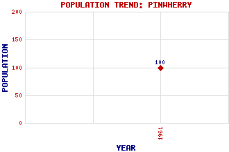
Pinwherry Classification and Statistics Settlement Type: settlement Population (1961): 100 Tourist Rating: No Text of Entry Updated: 20-FEB-2004 Location Latitude: 55.1435°N Longitude: 4.8305°W National Grid Reference: NX 197 869 A range of modern and historical maps are accessible through the map tab on the right of this page Get directions by entering the UK postcode of your location, home or hotel here eg. EH1 3YT Use the tabs on the right of this page to see other parts of this entry Related Entries There are 16 related entries. (1 Attraction, 1 Council Area, 1 Historical County, 1 Family, 8 Features, 1 Parish, 0 People and 3 Settlements) Names that are not linked do not currently contain any information. Attractions: Pinwherry Castle Council Area: South Ayrshire Families: Kennedy Features: Bargain Hill Breaker Hill Duisk River Fell Hill Muck Water Pinwherry Hill Pinwherry Station Stinchar, River Historical Counties: Ayrshire Parishes: Colmonell Settlements: Daljarrock Girvan Poundland
There are 16 related entries. (1 Attraction, 1 Council Area, 1 Historical County, 1 Family, 8 Features, 1 Parish, 0 People and 3 Settlements)
Names that are not linked do not currently contain any information.
By using our site you agree to accept cookies, which help us serve you better