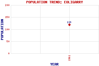
Eoligarry (Eolaigearraidh) Classification and Statistics Settlement Type: hamlet Population (1961): 119 Tourist Rating: No Text of Entry Updated: 07-JUN-2017 Location Latitude: 57.0432°N Longitude: 7.4319°W National Grid Reference: NF 706 077 A range of modern and historical maps are accessible through the map tab on the right of this page Get directions by entering the UK postcode of your location, home or hotel here eg. EH1 3YT Use the tabs on the right of this page to see other parts of this entry Related Entries There are 16 related entries. (3 Attractions, 1 Council Area, 1 Historical County, 6 Features, 1 Parish, 1 Person and 3 Settlements) Names that are not linked do not currently contain any information. Attractions: Cockle Strand Airport Eoligarry Peninsula Kilbar Church Council Area: Western Isles Features: Barra Ben Eoligarry Ben Scurrival Fuday, Sound of Our Lady Star of the Sea Traigh Mhor Historical Counties: Inverness-shire Parishes: Barra People: Sir (Edward Montague) Compton Mackenzie Settlements: Ardmore Ludac Saltinish
There are 16 related entries. (3 Attractions, 1 Council Area, 1 Historical County, 6 Features, 1 Parish, 1 Person and 3 Settlements)
Names that are not linked do not currently contain any information.
By using our site you agree to accept cookies, which help us serve you better