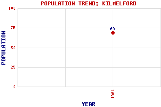
Kilmelford (Kilmelfort) Classification and Statistics Settlement Type: village Population (1961): 69 Tourist Rating: Text of Entry Updated: 24-SEP-2009 Location Latitude: 56.2606°N Longitude: 5.4746°W National Grid Reference: NM 849 130 A range of modern and historical maps are accessible through the map tab on the right of this page Get directions by entering the UK postcode of your location, home or hotel here eg. EH1 3YT Use the tabs on the right of this page to see other parts of this entry Related Entries There are 16 related entries. (0 Attractions, 1 Council Area, 1 Historical County, 7 Features, 1 Parish, 0 People and 6 Settlements) Names that are not linked do not currently contain any information. Council Area: Argyll and Bute Features: Cam Loch Daimh, Loch an Fearnach Bay Kilmelford Power Station Melfort, Loch Phearsain, Loch a' Sailm, Loch na Historical Counties: Argyllshire Parishes: Kilninver and Kilmelfort Settlements: Arduaine Dalavich Lochavich Melfort Narrachan Oban
There are 16 related entries. (0 Attractions, 1 Council Area, 1 Historical County, 7 Features, 1 Parish, 0 People and 6 Settlements)
Names that are not linked do not currently contain any information.
By using our site you agree to accept cookies, which help us serve you better