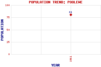
Poolewe Classification and Statistics Settlement Type: village Population (1961): 81 Tourist Rating: N/A Text of Entry Updated: 27-AUG-2019 Location Latitude: 57.7658°N Longitude: 5.6032°W National Grid Reference: NG 857 808 A range of modern and historical maps are accessible through the map tab on the right of this page Get directions by entering the UK postcode of your location, home or hotel here eg. EH1 3YT Use the tabs on the right of this page to see other parts of this entry Related Entries There are 33 related entries. (3 Attractions, 1 Council Area, 1 Historical County, 19 Features, 1 Parish, 1 Person and 7 Settlements) Names that are not linked do not currently contain any information. Attractions: Inverewe Garden North Coast 500 Slattadale Forest Council Area: Highland Features: Am Ploc Ard Bad an Sgalaig, Loch Boor, Loch Cloiche, Loch na Cloiche, Loch na Cnoc Breac Ewe, Loch Fada, Loch Feoir, Lochan Feshie, Glen Gairloch, Loch Inverewe House Maree, Loch Melvaig Peninsula Reidh, Rubha Ross and Cromarty Ruairidh Mor, Eilean Thuirnaig, Loch Tollie, Loch Historical Counties: Ross and Cromarty Parishes: Gairloch People: Thomas Godfrey Polson Corbett(2nd Lord Rowallan) Settlements: Auchtercairn Aultbea Cove Londubh Midtown Naast Tuirnaig
There are 33 related entries. (3 Attractions, 1 Council Area, 1 Historical County, 19 Features, 1 Parish, 1 Person and 7 Settlements)
Names that are not linked do not currently contain any information.
By using our site you agree to accept cookies, which help us serve you better