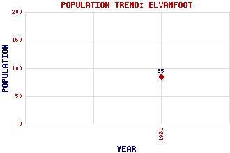
Elvanfoot Classification and Statistics Settlement Type: village Population (1961): 85 Tourist Rating: No Text of Entry Updated: 06-MAY-2019 Location Latitude: 55.4365°N Longitude: 3.6579°W National Grid Reference: NS 952 171 A range of modern and historical maps are accessible through the map tab on the right of this page Get directions by entering the UK postcode of your location, home or hotel here eg. EH1 3YT Use the tabs on the right of this page to see other parts of this entry Related Entries There are 34 related entries. (0 Attractions, 1 Council Area, 1 Historical County, 26 Features, 1 Parish, 1 Person and 4 Settlements) Names that are not linked do not currently contain any information. Council Area: South Lanarkshire Features: Ballencleuch Law Beattock Summit Bodsberry Hill Clyde Law Clyde Wind Farm North Clyde, River Crookedstane Rig Elvan Water Glengonnar Halt Harryburn Brae Hazelbush Hill Lady Cairn Lowther Hills Mid Height Mid Hill Peden Burn Potrail Water Ravengill Dod Ring Hill Rodger Law Rodger Law Simon's Knowe Tomont Hill Well Hill West Coast Main Line Wintercleuch Fell Historical Counties: Lanarkshire Parishes: Crawford People: Robert Burns Settlements: Kirkhope Leadhills Little Clyde Wanlockhead
There are 34 related entries. (0 Attractions, 1 Council Area, 1 Historical County, 26 Features, 1 Parish, 1 Person and 4 Settlements)
Names that are not linked do not currently contain any information.
By using our site you agree to accept cookies, which help us serve you better